Our Servies

Ecology
We Can
EnviroSolution expert consultants complete a full variety of ecological services to aid in pre-planning to projects for land and property owners and managers of domestic and commercial developers
We Do
Our Ecological Services include:
- Environmental Impact Assessment (EIA)
- Badger, Bat & Great Crested Newt Survey
- (Extended) Phase 1 Habitat Survey
- Preliminary Ecological Appraisal
- Ecological Impact Assessment (EcIA)
We Need
This is a placeholder tab content. It is important to have the necessary information in the block, but at this stage, it is just a placeholder to help you visualise how the content is displayed. Feel free to edit this with your actual content.
Air Quality
Geotechnical
Traffic & Highways
Environmental Permitting
Topography
Waste Classification
GIS Mapping Services
Harnessing the power of GIS for decision-making. Analyze complex data, optimize resource allocation, and solve spatial challenges. Explore Our GIS Work
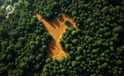
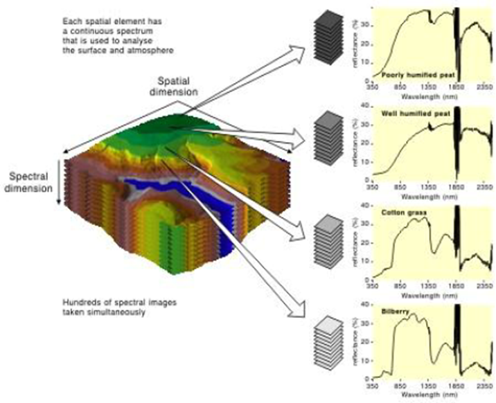
Remote Sensing & Satellite Data
Processing geospatial data for insights. Analysis for research and development projects. Extraction of valuable information for informed decisions.
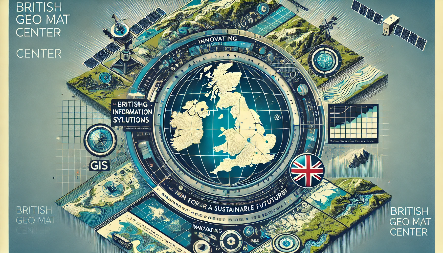
British Geomat: Mapping the Future
UK-based experts in geomatics, GIS, remote sensing, and geospatial sciences. Our mission: Advancing geospatial solutions for a sustainable world.
How are we different?
GIS Mapping
Precision mapping for informed decisions.
Remote Sensing
Extracting insights from satellite data.
Geospatial Data Science
Advanced analytics for spatial insights.
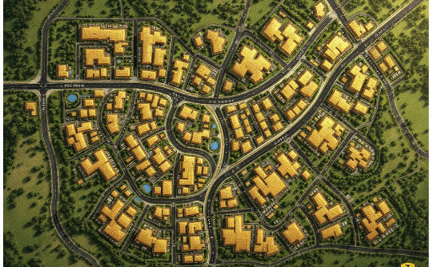
Urban & Environmental Planning
GIS for sustainable urban development.
Collaborate With Us
Partner with British Geomat for cutting-edge GIS research.
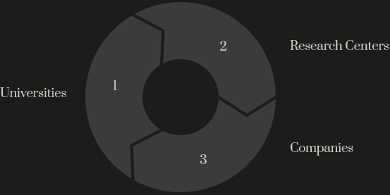
We seek collaboration with universities, research centers, and companies. Together, we can advance geospatial sciences.
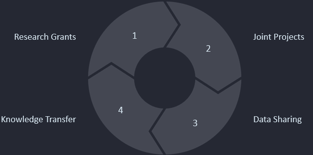
Research & Innovation
Academic research and collaborations with global institutions.
SAMPLE WORKS
Urban & Environmental Planning
- Sustainable Development
- GIS for green infrastructure and climate resilience.
- Smart City Solutions
- Data driven systems, optimized for future growth.
- Environmental Monitoring
- Efficient management of resources.
Send us a message!
Get in touch with our team of experts today.